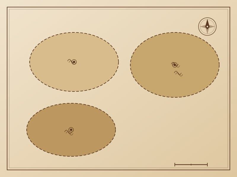
Hunting Grounds Map
The hunting grounds map uses circles and symbols to mark the locations and ranges of traditional hunting territories. Circles of different sizes represent hunting grounds of different scales, with internal symbols indicating major prey types—reindeer, moose, roe deer, wild boar, etc. Hunting grounds are connected by dashed lines representing hunting circuit routes.
Cultural Significance
Hunting grounds maps embody the Evenki people's ecological wisdom of sustainable hunting. The maps mark restricted zones (breeding grounds), rotational hunting areas (alternating hunting to avoid overhunting), and public hunting areas. These patterns visually enforce ecological protection norms—managing hunting behavior through aesthetic conventions rather than explicit prohibitions.
Related Patterns
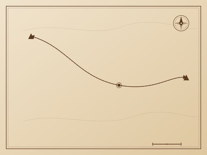
Migration Route Map
The migration route map is the most representative of Evenki narrative map patterns, using line networks to record generations of seasonal migration routes. Different line thicknesses and elevations represent different levels of migration paths—trunk routes, branch routes, and temporary routes.
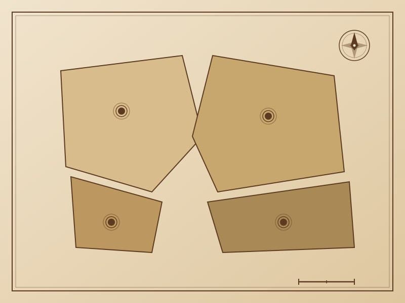
Clan Territory Map
Clan territory maps use boundary lines and totem symbols to indicate the traditional territorial areas of different clans. Each clan's territory is marked with a unique totem symbol—the Dulaer Clan is represented by the antler pattern. Boundaries reference natural landforms (ridgelines, rivers), with blue indicating water boundaries and brown indicating ridge boundaries.