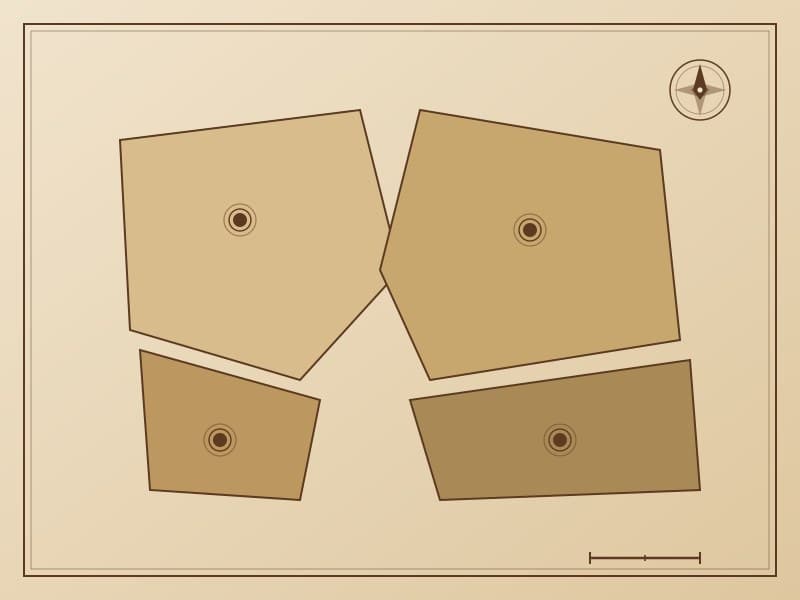
Clan Territory Map
Clan territory maps use boundary lines and totem symbols to indicate the traditional territorial areas of different clans. Each clan's territory is marked with a unique totem symbol—the Dulaer Clan is represented by the antler pattern. Boundaries reference natural landforms (ridgelines, rivers), with blue indicating water boundaries and brown indicating ridge boundaries.
Cultural Significance
Clan territories are not merely geographic concepts but spatial expressions of cultural identity. These patterns provide important visual records of the Evenki traditional territorial management system, showing the spatial dimensions of resource allocation, territorial inheritance, and inter-clan agreements.
Related Patterns
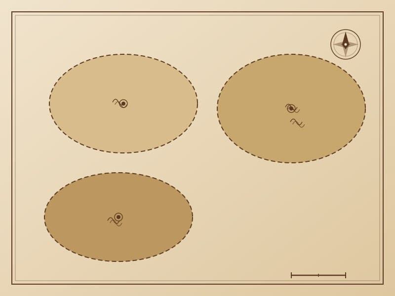
Hunting Grounds Map
The hunting grounds map uses circles and symbols to mark the locations and ranges of traditional hunting territories. Circles of different sizes represent hunting grounds of different scales, with internal symbols indicating major prey types—reindeer, moose, roe deer, wild boar, etc. Hunting grounds are connected by dashed lines representing hunting circuit routes.
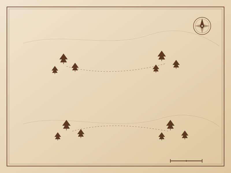
Sacred Groves Map
The sacred groves map indicates sacred forest areas in traditional Evenki belief. These locations are marked with special concentric circle or star symbols, distinguishing them from ordinary hunting grounds and campsites. Sacred groves are typically ancient forest stands, spring sources, or mountain peaks—considered dwelling places of spirits.