River Systems Navigation Map
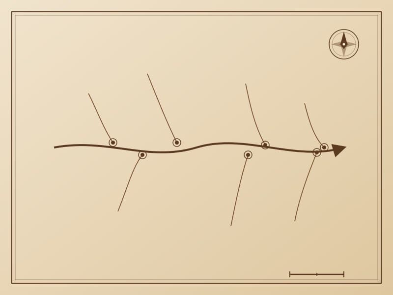
The river systems navigation map depicts in detail the river network of the Greater Khingan Mountains region, with main rivers as the framework and tributaries as branches, forming a tree-structure geographic information map. Flow directions, confluence points, and shoal locations are important references for Evenki water transportation and fishery production.
Cultural Significance
Rivers are lifelines for Evenki migration and trade. Frozen river surfaces become "roads" in winter, while summer brings fishing and water transport. The river systems navigation map integrates hydrographic knowledge with survival practice, serving as material testimony to the Evenki "water as road" lifestyle.
Related Patterns
Migration Route Map
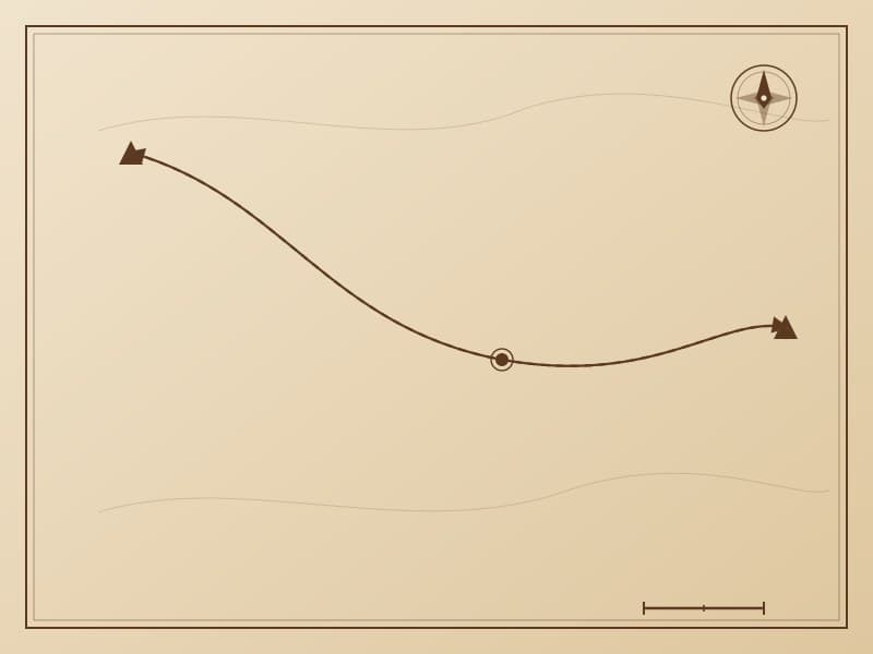
The migration route map is the most representative of Evenki narrative map patterns, using line networks to record generations of seasonal migration routes. Different line thicknesses and elevations represent different levels of migration paths—trunk routes, branch routes, and temporary routes.
Seasonal Camps Map
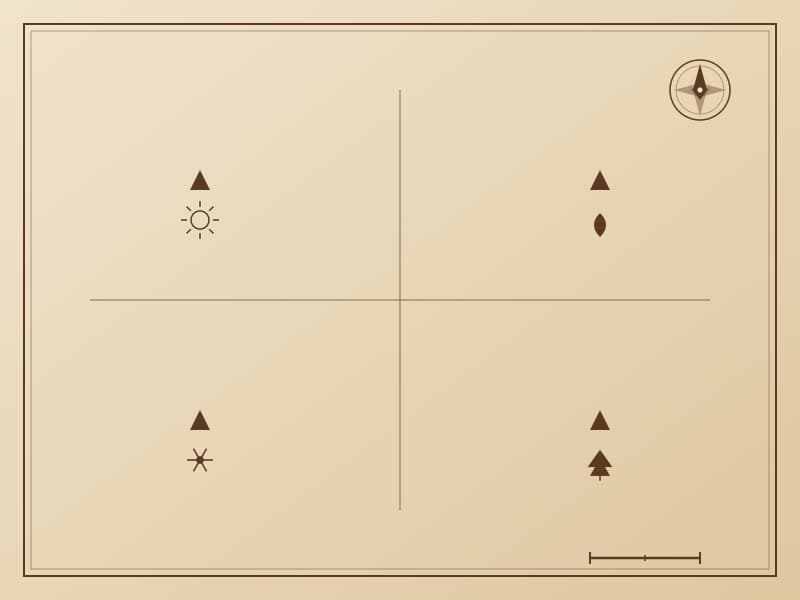
The seasonal camps map records the Evenki residential camp locations across different seasons throughout the year. The pattern uses four concentric zones or sectors to represent the four seasons, with each zone marking major campsites, water sources, and pasture conditions for that season.

River Pattern
The river pattern uses winding curves to depict the river networks of the Greater Khingan Mountains region. The Evenki people live by water, and rivers are not only water sources but also important references for migration and hunting. Different line thicknesses and curvatures represent different river levels—from streams to major rivers.